At 518ft above sea level, the Peak Forest Canal is the highest stretch of navigable water in the entire canal system. On a clear day you will get views of the Pennines and Kinder Scout. (Waterways licence required. Find out more).
Distance: 6.5 Miles
Time: 2-3 hours
Sat Nav: Park at SK23 7LX (and shuttle in another car to SK6 6BN)
What3Words: ///worksheet.destroyer.wishing (and shuttle to ///blubber.frightens.changed)
Find more routes across the country on PaddlePoints >>

We parked up at the Canal Wharf car park, in Whaley Bridge, Derbyshire (///worksheet.destroyer.wishing).
There’s a public toilet here, including an accessible loo operated by a Canal River Trust key (///guests.puns.courts).
There’s also toilets across the road (///zoned.complies.squirts).
This is where we planned to end our trip. However, as the route isn’t circular, we had to get in another car and do a 20 minute shuttle to our start point.
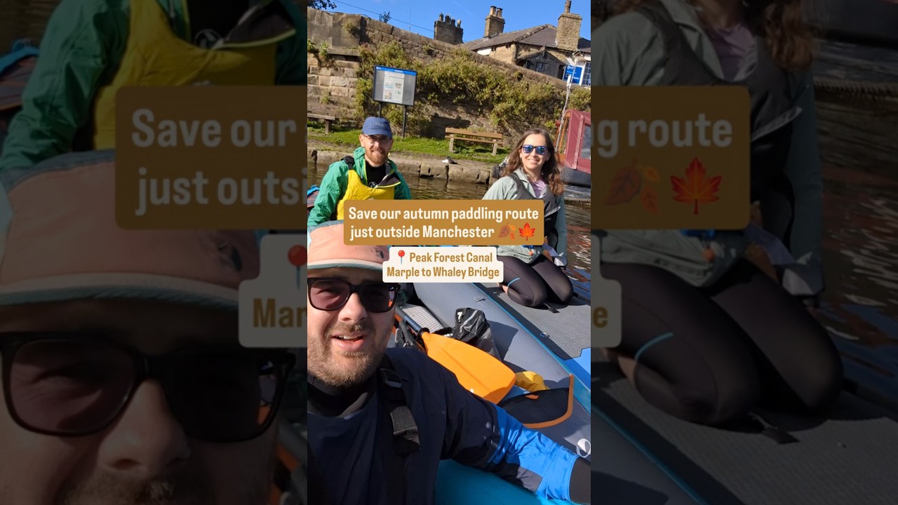

We parked on Lockside Road (///blubber.frightens.changed), in Marple, Greater Manchester.
It can be busy so please park considerately. There are other places to park around the village too.
We were joined by Ordinance Survey (OS) Champion Meg Collington who paddled with us using her SUP.
Meg lives close to the Peak District and loves the outdoors, especially being out in blue space.

Before getting on the water you can visit, by foot, the unusual Posset Bridge.
The name comes from the story of Samuel Oldknow promising the workmen a posset of ale if they finish the bridge by a set date. They did, and claimed their reward.
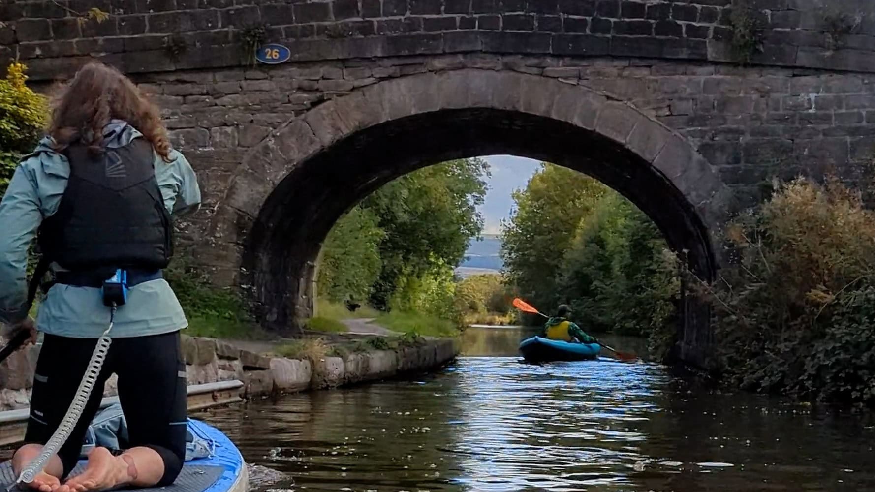
The bridge has three arches: one for the main channel, a smaller one for the towpath (with a tunnel for boatmen), and a third — now unused — which once served old lime kilns.
We got on the water south of Posset Bridge, near to where we parked.
At a junction right for the Macclesfield Canal we took a left, leaving Marple through a mix of industrial scenery, before reaching a series of swing bridges.

If you don’t feel comfortable then just portage round them, or they can be opened but do return them in the same position.
We soon came to New Mills, and the sweet smell of the Swizzels Matlow factory.
We then winded across the county boundary past a marina and into Derbyshire.
A fork on the canal appears, take the first left to visit and explore Bugsworth Basin.
This consists of three large basins, which formed part of a large inland port, to bring the canal as close as possible to the limestone from quarries at Dove Stone.
Retrace your route to where the canal forks, take a right where you will finish the paddle at a smaller basin, near a railway interchange, in Whaley Bridge.
In Whaley Bridge, where we left the first car, we got changed and travelled back to Lockside Road.
In Marple, there are plenty of options for food and refreshments, including pubs – the Bulls Head, The Samuel Oldknow, Hatters Arms – plus cafes, and a supermarket.
The Canal and River Trust has more information about the Peak Forest Canal >>
